

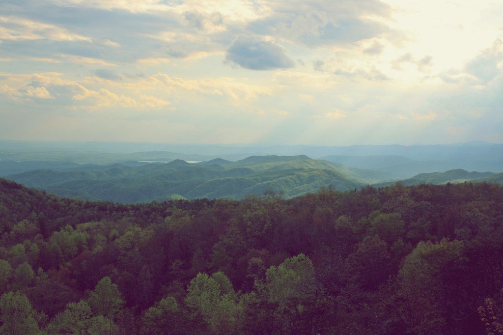
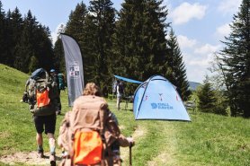
North and South Carolina have hundreds of miles of hiking trails within their borders. The Appalachian Mountains traverse these two states, and the paths exploring this magnificent range are hundreds of millions of years in the making.
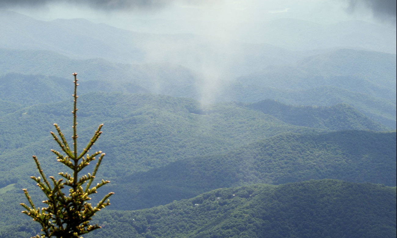
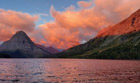
North Carolina is home to some of the highest peaks east of the Mississippi River, with Mount Mitchell topping that list with a daunting elevation of 6,684 feet. And while South Carolina’s highest peak, Sassafras Mountain, tops out at 3,554, the view from its summit is breathtaking. Across both states, you’ll find an abundance of waterfalls, abandoned railroad tunnels, temperate rainforest, mountain meadows and no shortage of scenic vistas.
What are you waiting for? Grab a water bottle and other trail essentials and lace up your boots as we guide you to the best hiking trails across the Carolinas.
Mount Mitchell, North Carolina
Where: Mount Mitchell State Park, 30 miles northeast of Asheville
Length: Balsam Nature Trail (1 mile) or Mount Mitchell High Loop (4 miles)
Time: Varies
Difficulty: Moderate to Strenuous
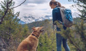
Pets: Yes, on leash
What to expect: If you want to reach the highest peak east of the Mississippi River, you have several options. The easiest access is located right off of the Blue Ridge Parkway via the Balsam Nature Trail. This one-mile paved path is a family-friendly option that will take you through a beautiful fir forest to the summit where an observation platform affords you spectacular views in every direction. For a little more of a challenge, the Mount Mitchell High Loop. This trifecta of trails begins on the Old Mitchell Trail to the summit and loops back on the return via the Camp Alice and Old Commissary Trails. These four miles traverse through alpine meadows and a high-elevation fir forest with a small waterfall as a bonus.
Rough Ridge, North Carolina
Where: Blue Ridge Parkway just outside of Blowing Rock, North Carolina
Length: 1.2 miles round trip
Time: Less than an hour
Difficulty: Moderate
Pets: Yes, on leash
What to expect: Despite its short distance, this is perhaps one of the best hikes in North Carolina, offering spectacular views of the Linn Cove Viaduct and the expansive scope of the Blue Ridge Mountains. The trail starts from an overlook along the Blue Ridge Parkway and ascends through a shaded forest with rocky terrain before emerging onto rocky outcroppings that offer endless views and are a great place to watch sunrises and sunsets. There are multiple wooden boardwalks and stairs along the short trail to protect this fragile ecosystem.
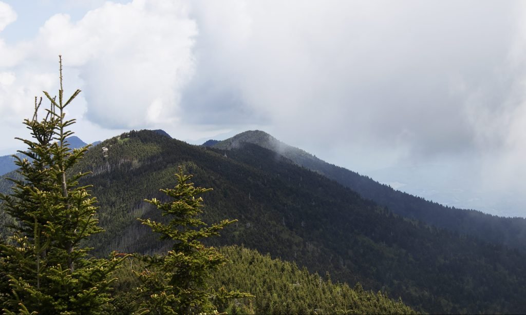
Calloway Peak, North Carolina
Where: Grandfather Mountain State Park, two hours west of Winston-Salem
Length: ~8 miles round trip via the Profile Trail
Time: 4 to 5 hours
Difficulty: Strenuous
Pets: Leashed dogs are allowed. However, consider your dog’s fitness as this trail can be difficult, and accessing the upper section requires the use of ladders.
What to expect: Reaching Calloway Peak is achievable by three commonly used routes: the Profile Trail, Daniel Boone Scout Trail or via the swinging bridge at Grandfather Mountain. The most popular of these is perhaps the Profile Trail as it provides the namesake view of the route that provides a view of the grandfather’s profile in the rocky outcropping. At 5,964 feet, Calloway Peak is one of the highest points in the Blue Ridge Mountains. The trail traverses mountain wildflowers and hardwoods transition to evergreen firs near the top. To reach the summit, you must climb a series of ladders.
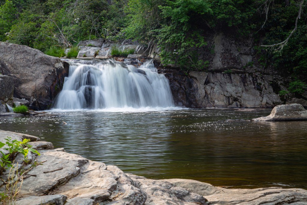
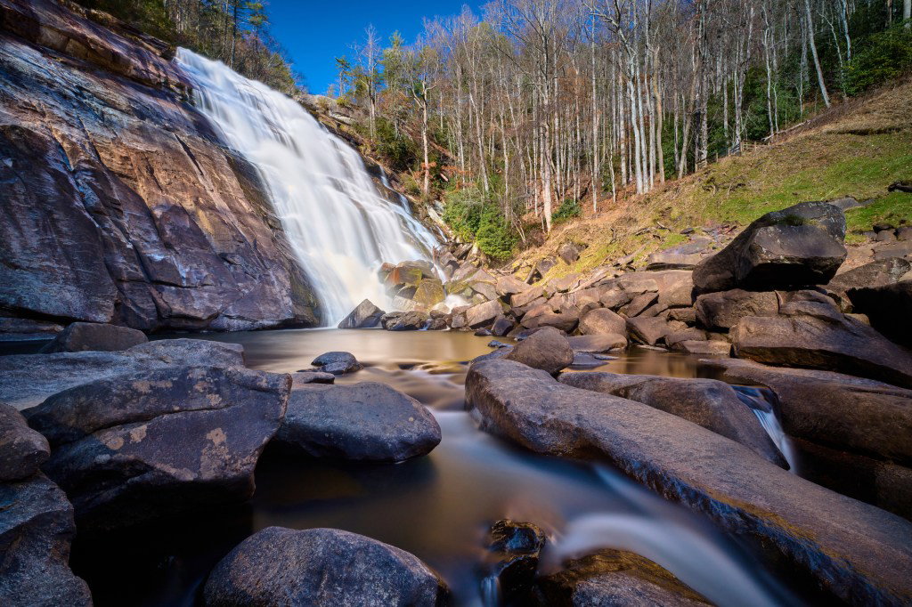
Linville Falls, North Carolina
Where: Blue Ridge Parkway, two hours west of Winston-Salem
Length: Erwins View Trail (1.6 miles round trip), Linville Gorge Trail (1.4 miles round trip)
Time: 1 to 2 hours
Difficulty: Moderate to strenuous
Pets: Yes, on leash
What to expect: Roughly 90 feet high, the multi-tiered Linville Falls are perhaps one of the most photographed waterfalls in the state. From the visitor center, there are two options in which to approach and view this cascading spectacle. Departing from the visitor center on the Linville Gorge Trail, hikers come to a fork approximately 0.2 miles in. Veering to the right leads to the Plunge Basin Overlook, which offers views of the lower falls and the “chimneys” (rock outcroppings). The left fork takes hikers to the bottom of the falls. Taking the Erwin’s View Trail, hikers will come to the first overlook 0.5 miles from the visitor center. This overlook affords spectators a view of the upper falls as the Linville River cascades over and plunges out of sight over the lower falls. Another 0.2 miles brings hikers to the Chimney View overlook providing the first view of the lower falls.
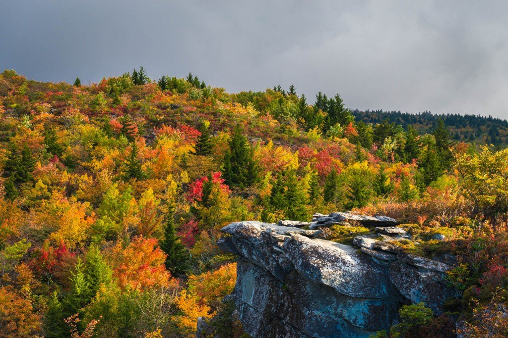
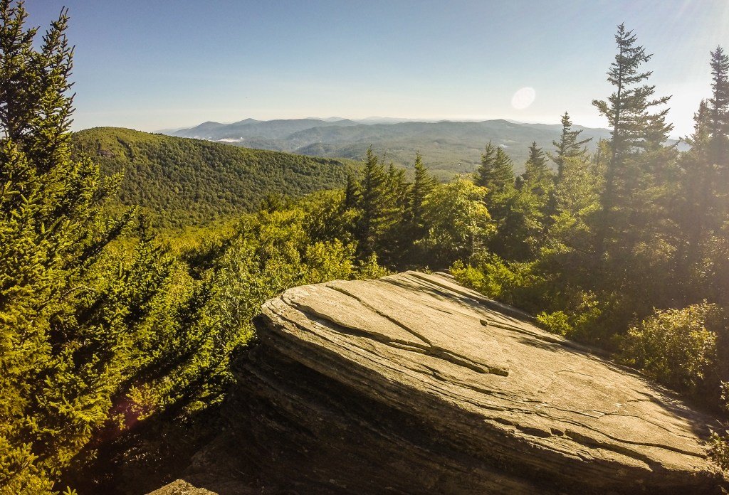
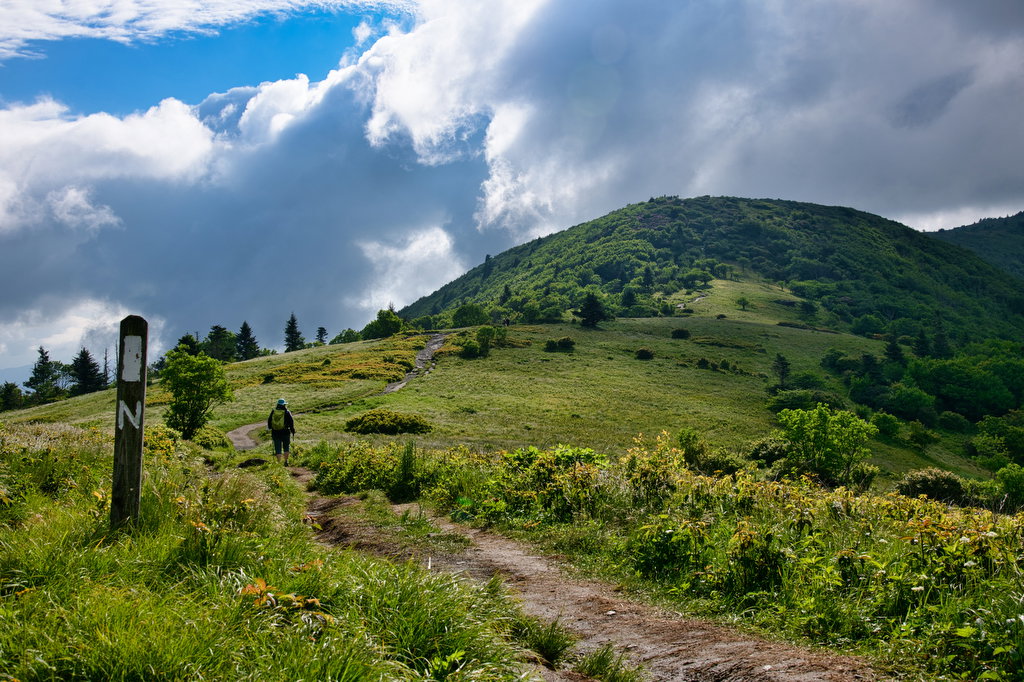
Grassy Ridge Bald, North Carolina
Where: Roan Highlands, Carver’s Gap Trailhead, located between Roan Mountain, Tennessee and Bakersville, North Carolina
Length: 5 miles round trip
Time: 2 to 3 hours
Difficulty: Moderate
Pets: Yes, on leash
What to expect: Grassy Ridge is the longest and highest stretch of grassy bald in the Appalachian Mountains. This unique stretch of mountain top meadow provides unprecedented views as you traverse the highlands. From the Carver’s Gap trailhead, the Appalachian Trail ascends through rhododendron and a dense section of fir trees before emerging into the grassy landscape of Round Bald, the first of three. As the trail continues, the views only get better. During spring and summer, expect an array of wildflowers to blanket the area. In cooler months, the vibrant colors give way to autumn hues. From Round Bald, the trail leads to Jane Bald and finally Grassy Ridge Bald that affords hikers views of Grandfather Mountain and North Carolina’s highest peak, Mt. Mitchell.
Catawba Falls
Where: Pisgah National Forest, 25 miles from downtown Asheville
Length: 3 miles round trip
Time: 1 to 2 hours
Difficulty: Easy
Pets: Yes, on leash
What to expect: This is a great hike for the entire family, including the dog. Due to its relative proximity to Asheville, this trail is quite popular and can often be crowded. Toppling 100 feet over a series of drops, Catawba Falls is quite spectacular. Walking through the hardwood forest, the trail follows along the edge of the water for most of the hike to the base of the falls. Along the trail as you near the falls, you can also see a decaying dam built in the early 20th century in an attempt to harness hydropower.
Clingman’s Dome, North Carolina
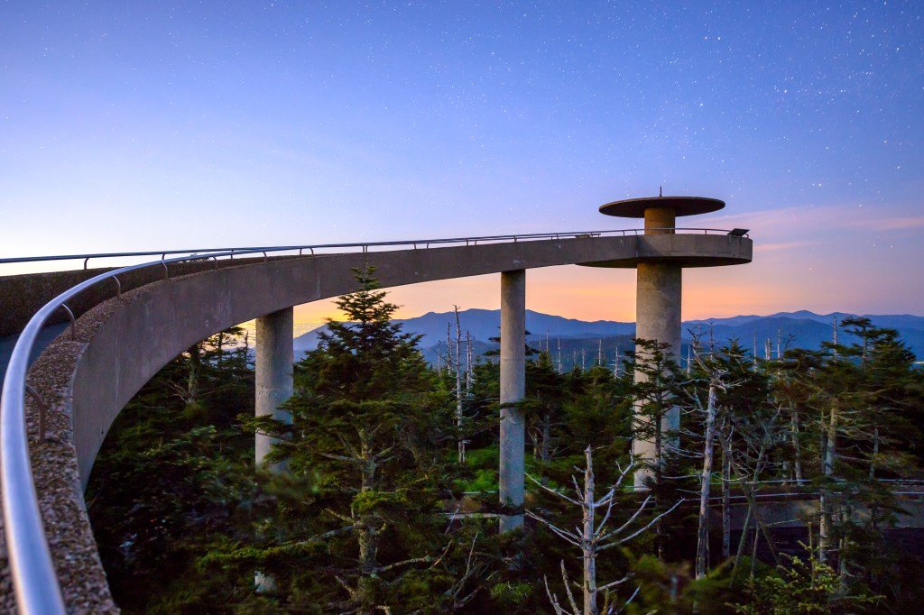
Where: Great Smoky Mountains National Park on the North Carolina and Tennessee border
Length: 1 mile
Time: 1 hour
Difficulty: Easy to Moderate
Pets: No
What to expect: Rising to 6,643 feet, Clingman’s Dome is the highest point in the Great Smoky Mountains National Park. From the parking area at the end of the road leading up the mountain, there is the trailhead to the summit and a visitor’s center. The trail to the summit is paved but steep. It’s also intersected by other trails including the Appalachian Trail. Once to the summit, the dome, there’s an observation tower that affords visitors 360-degree views of the Smokies. And on clear days, it’s possible to see as far as a hundred miles.
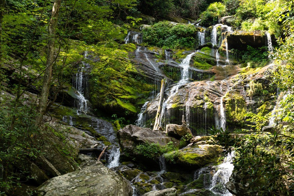
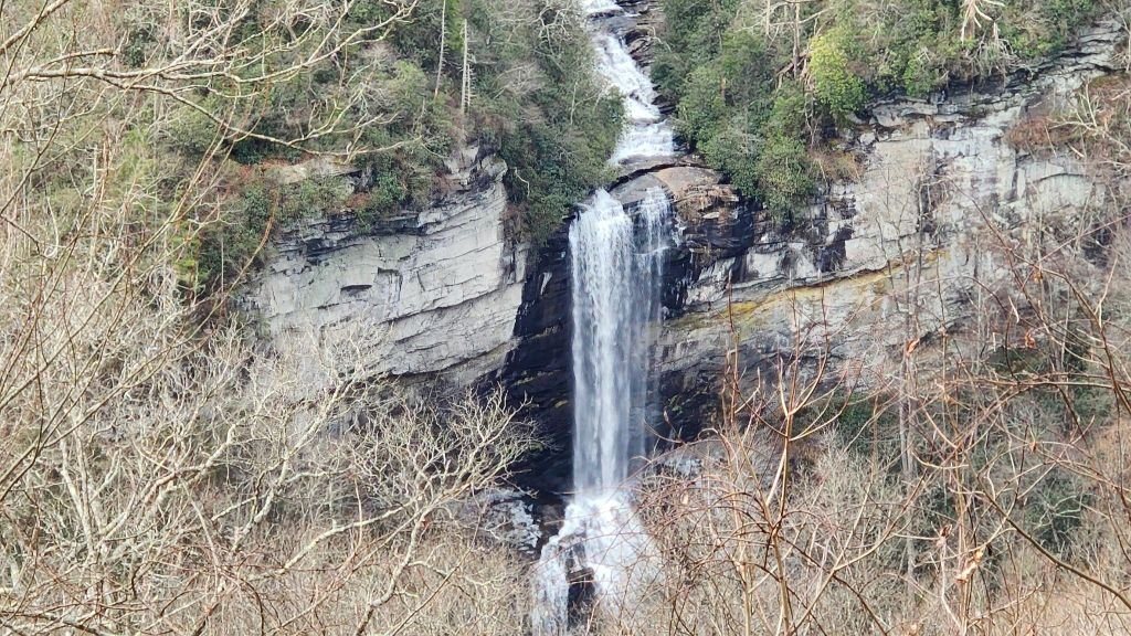
Rainbow Falls, North Carolina
Where: Gorges State Park in Transylvania County, North Carolina
Length: 3.9 miles
Time: 2 hours
Difficulty: Moderate
Pets: Yes, on leash
What to expect: Located in the Nantahala National Forest, the adventure to get to this majestic 150-foot waterfall begins in Gorges State Park from the Grassy Ridge trailhead. In less than two miles, hikers will be rewarded as they travel upriver with two additional cascades—Turtleback Falls and Drift Falls. With a short detour, Hidden Falls rounds out the spectacle in the waterfall laden valley. However, the true treasure to this hike is Rainbow Falls, which drops an impressive 150 feet into a deep pool. The waterfall gets its name from the rainbow created as the sun passes through the mist at the bottom of the falls. Receiving over 80 inches of rain annually, Gorges State Park is classified as a temperate rainforest, creating the ideal environment for an abundance of flora and fauna.
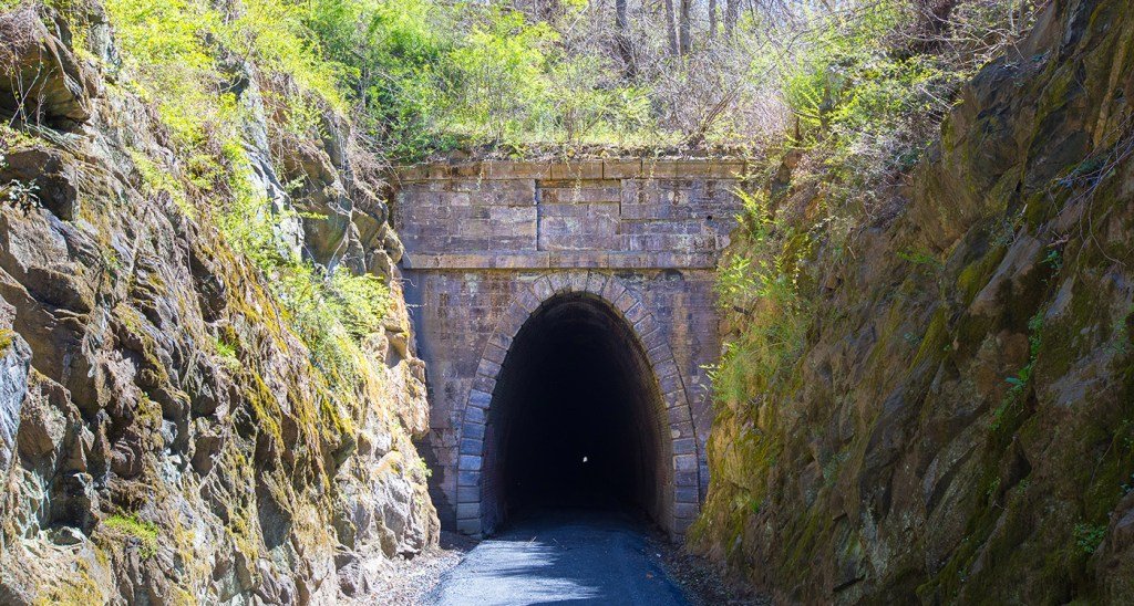
Blue Ridge Railroad Historical Trail, South Carolina
Where: Near Walhalla, South Carolina
Length: 5 miles round trip
Time: 2 hours
Difficulty: Easy to Moderate
Pets: Yes, on leash
What to expect: During the 19th century, an attempt was made to build a railroad that would connect Charleston with the Ohio Valley but was abandoned mid-construction. Today, hikers can enjoy this relatively easy trail that features three abandoned tunnels. The first tunnel is the Stumphouse Tunnel. Though never finished, what remains is 25 feet high and 17 feet wide and extends over 1,600 feet into the mountain. Just above Isaqueena Falls, the trail begins and continues until Middle Tunnel, which is the only one that was completed on the project, though over the last century, the tunnel has partially filled with dirt. The final tunnel on this abandoned project is the Saddleback Tunnel, which is now flooded.
Dismal Trail Loop, South Carolina
Where: Caesars Head State Park, less than an hour northwest of Greenville, SC
Length: 8.8 miles
Time: 4 to 5 hours
Difficulty: Strenuous
Pets: Yes, on leash
What to expect: The Dismal Trail Loop is notorious for being one of the toughest in the state. However, don’t let that dissuade you from hiking a trail that’s one of the most rewarding in the Carolinas. Starting at the Raven Cliff parking, located about a mile past the visitor center, hikers will first come to the Raven Cliff Falls overlook for their first view of the tallest waterfall in the state. At over 400 feet high, this waterfall got its name from the ravens that frequent the area where Matthews Creek plunges over Raven Cliff Mountain.
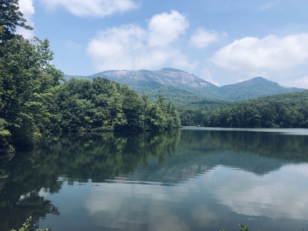
Sassafras Mountain, South Carolina
Where: Pickens County, South Carolina, approximately one hour northwest of Greenville on the North Carolina border
Length: 9.7 miles or 14.2 miles
Time: 5 to 8 hours
Difficulty: Strenuous
Pets: Yes, on leash
What to expect: While you can drive to the top of the state’s highest point, Sassafras Mountain, where’s the adventure in doing that? There are multiple routes to the summit via the Foothills Trail. Leaving from Table Rock State Park, it’s 9.7 miles and from Caesars Head State Park, it’s 14.2 miles. Once on the summit, there’s an observation platform that provides views of peaks nearly twice the height of the mountain you’re standing on.
Chattooga River Trail, South Carolina
Where: Ellicott Rock Wilderness, along the South Carolina and Georgia border
Length: 8 miles one way
Time: 4 to 5 hours
Difficulty: Moderate
Pets: Yes, on leash
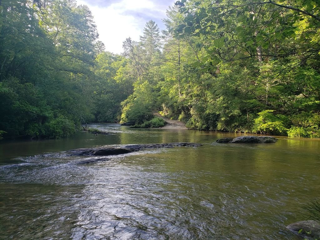
What to expect: The Chattooga River is one of the premier whitewater rivers and one of the few remaining free-flowing rivers in the southeast. Hikers on this trail will be transported back to an era where rivers were wild. The hike also crosses the point where both Carolinas and Georgia meet. This wilderness hike is primitive amidst dense forests and thundering whitewater racing down the gorge.
Table Rock Trail, South Carolina
Where: Pickens, South Carolina
Length: 7.2 miles
Time: 4 hours
Difficulty: Strenuous
Pets: Yes, on leash
What to expect: Though there are over 12 miles of trails in the park, this is the only trail that takes hikers to the imposing summit of Table Rock Mountain at 3,124 feet. This granite dome provides excellent views from the top. The trail begins at the Nature Center and ascends quickly through hardwood forest with scattered pines and hemlocks. Large boulders dot the landscape as hikers navigate their way along the trail.


Pingback: The Best Scenic American Highways For Your Next Road Trip – Outdoors.com